tel:027-87580888
phone:18971233215
fax:027-87580883
email:didareneng@163.com
address: Inside the China University of Geosciences, 388 Lumo Road, Hongshan District, Wuhan (Wuhan)
 industry news
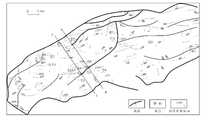
 Terrestrial heat flow in the baiyinchagan sag, erlian Basin,
Autors:Jiong Zhang. et al.
Abstract: The Baiyinchagan Sag of the Erlian Basin is a Mesozoic continental rift basin located in the eastern part of the Central Asian Orogenic Belt between the North China Craton and the Siberian Craton. The sedimentary fill comprises mainly the Cretaceous sandstones and mudstones underlying Cenozoic succession. Knowledge re-garding the factors affecting the tectonic evolution of the Baiyinchagan Sag is lacking. The objective of this study is to obtain new terrestrial heat flow measurements in the Baiyinchagan Sag for constraints on its thermotectonic history. We obtained continuous temperature logs from three boreholes, namely Xi24, Xi3-76 and Xi30 with depths of 1230, 1660 and 2160 m, respectively. Additionally, we gauged the thermal conductivity of the li-thologic samples of the main sedimentary rocks. Our analysis indicates that subsurface temperatures are affected by the convection of groundwater and subsurface warming. After removing the influence of groundwater and climatic effects, the subsurface temperature gradients ofthe Cretaceous Duhongmu and Tenggeer Formations range from 40.4 to 42.1 ℃ km−1. We performedwater saturation correction for the measured thermal con-ductivity data. Thethermal conductivities of the Saihantala, the Duhongmu, the Tenggeer, and theAershan Formations were found to be 1.15, 2.13, 1.99, and 2.15 W m-1K−1, respectively. Vertical Peclet number analysis of thetemperature-depth profile of Xi3-76 borehole with a Peclet number of 0.16indicates that the conductive heat transfer dominates in the component of thevertical heat transfer. The three new heat flow values range from 80.8 to 89.7mW m-2, with a mean of 84.9 ± 3.4 mW m-2, significantlyhigher than the global and regional average whereas consistent with its deepthermotectonic regime.
来源: Elsevier Ltd,2020,86.SCI
Tectonic setting of the study area (modified from Huang and Zhao (2006); Santosh (2010) and Xia et al.(2017)). CAOB- Central Asian Orogenic Belt; NCCNorth China Craton; EB- Erlian Basin; YB- Yinshan Block; IMSZ- Inner Mongolia Suture Zone; OB- Ordos Block; Yellow line- the line of 108 °E longitude (Used in the discussion section); CJ- Chuanjing Depression; WLCB- Wulanchabu Depression; MNT- Manite Depression; SNT- Sunite Uplift; TGE- Tenggeer Depression; WNTWunite Depression (For interpretation of the references to colour in this figure legend, the reader is referred to the web version of this article).

上一篇 > Study on the effect of well layout schemes and fracture para
Next >none


